Canandaigua Waterfront Active Transportation Plan


Canandaigua Waterfront Active Transportation Plan
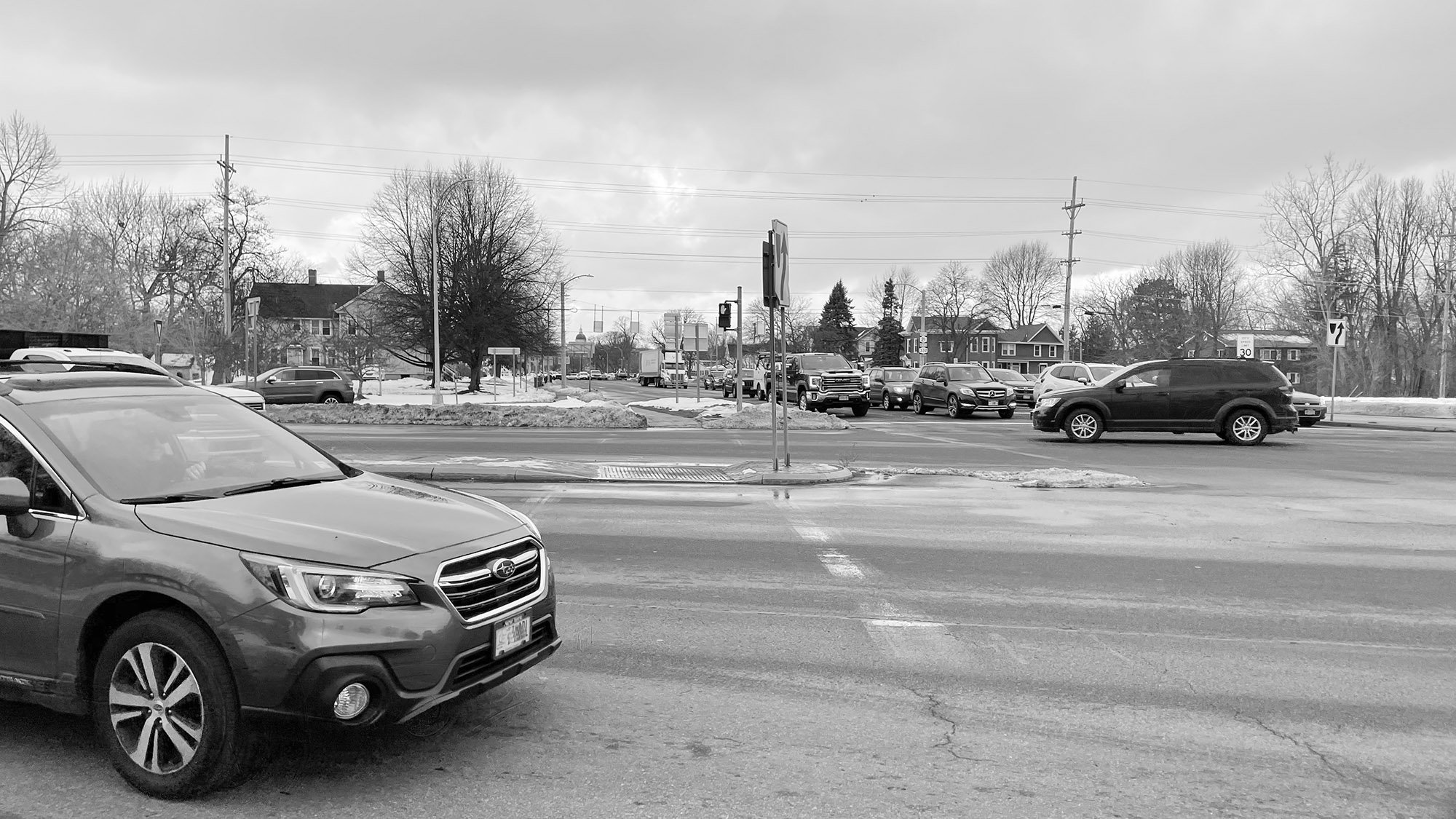
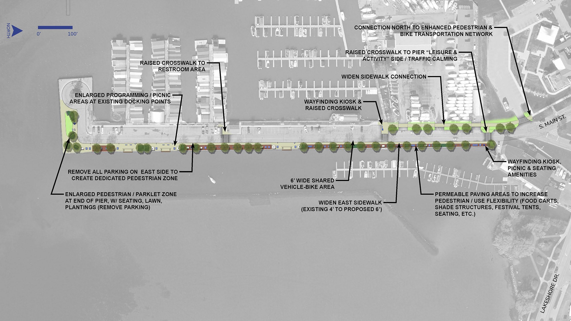
The City of Canandaigua, with funding from the Genesee Transportation Council, commissioned an Active Transportation Plan for the South Main Street and Lakeshore Drive corridor. This strategic plan focuses on transforming the corridor—extending from Foster Street through the Routes 5 and 20 intersection to Lakeshore Drive and East Lake Road—into a safer, more accessible space for pedestrians, cyclists, and vehicles.
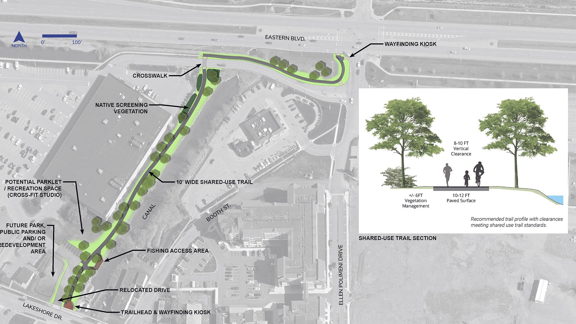
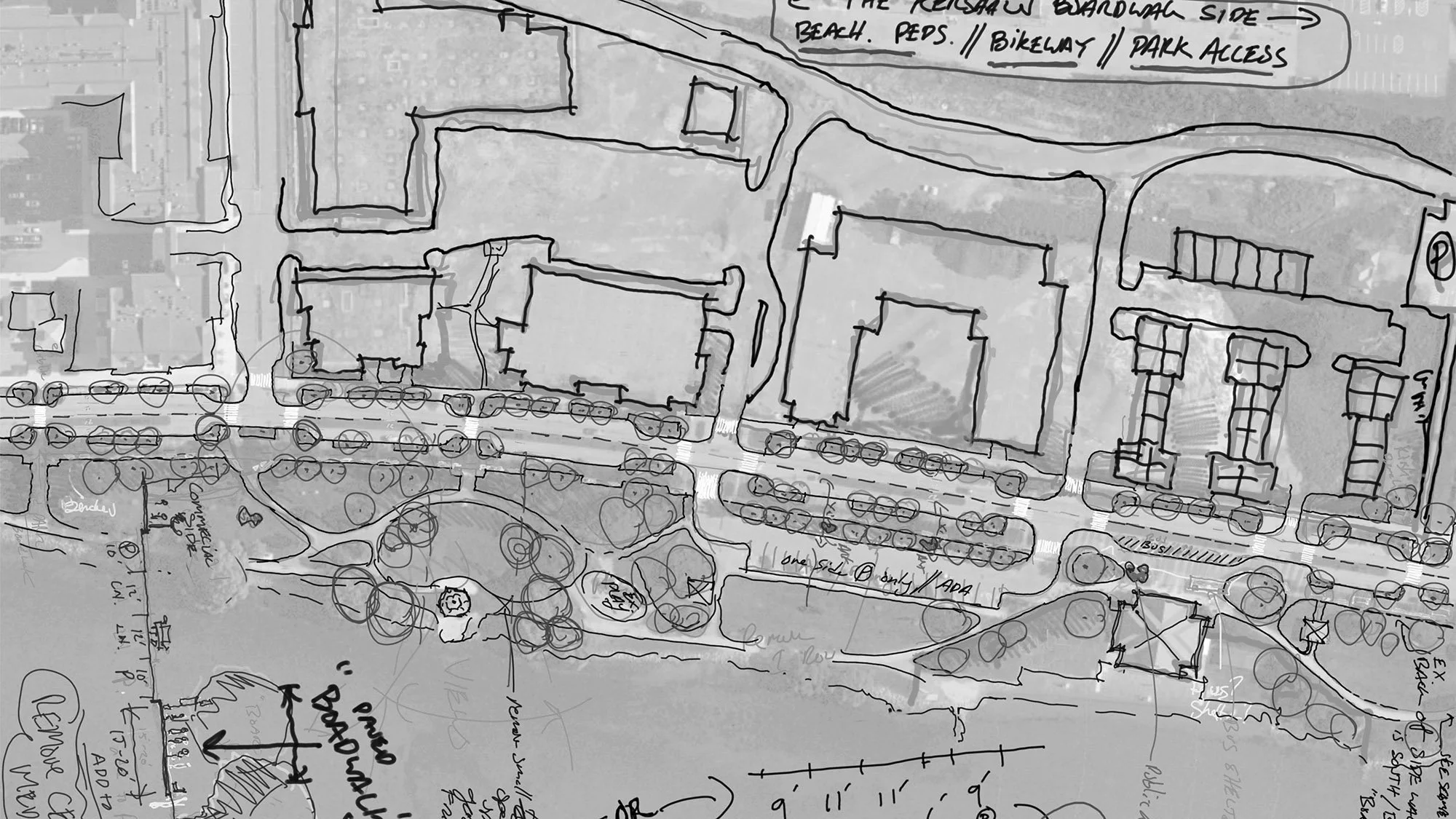
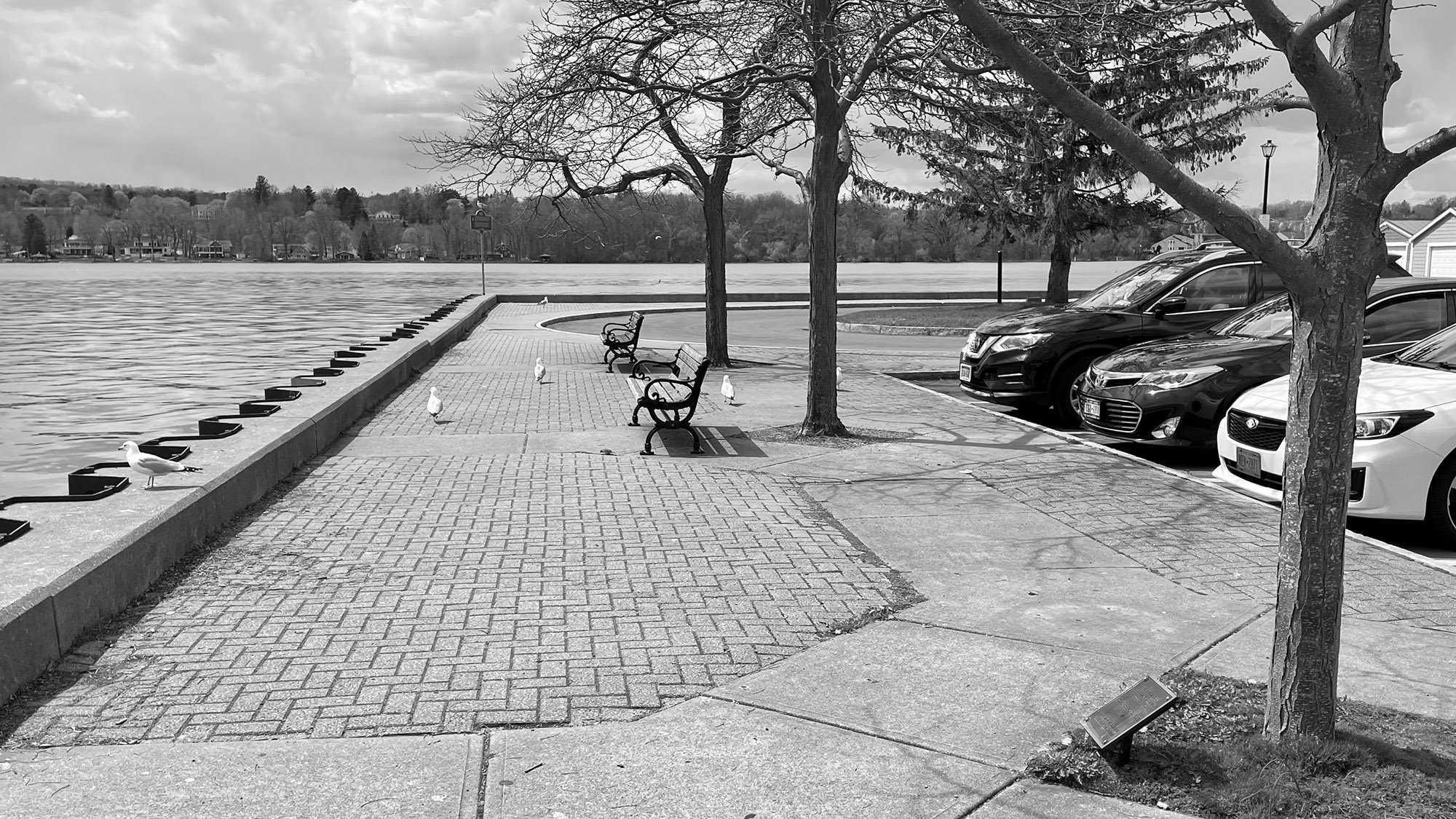
The plan aims to enhance the transition from the mixed-use retail area to the recreational and tourism-focused waterfront along Canandaigua Lake. Key recommendations include a two-way on-road cycle track to provide dedicated bike facilities, high-visibility crosswalks, narrowed travel lanes, and a roundabout at the Lakeshore Drive/City Pier intersection. Additional improvements include enhanced sidewalks, crosswalks, and a multi-use side path along Lakeshore Drive to Route 364. Developed by Colliers Engineering & Design, and supported by Steele Landscape Architecture, these initiatives prioritize safety and connectivity, linking downtown Canandaigua to its vibrant waterfront.
TEAM
Colliers Engineering & Design (Planning)
Steele Landscape Architecture
SERVICES
Trail Planning
Urban Design
Streetscape Design
Park Master Planning
Completed 2021